Trinity Bellwoods Park
Neighbourhood Park, one of the city's strongest overall (score 63, rank ~100th percentile). Strongest: connectivity; weakest: natural comfort.
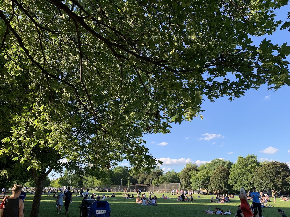
Photo by Kim Kim via Google Places · cached 5/9/2026
Trinity Bellwoods Park scores 63.4 / 100. Strongest dimensions: connectivity and enclosure / eyes on park. Weakest: edge activation (44.5). Border-vacuum risk is elevated (36). This score is a transparent reading of Jane Jacobs-style vitality factors, not a definitive judgment.
Area · 14.62 ha
Weighted across six dimensions · confidence 72%
Scores are not bell-curved. Percentiles and expected scores provide context without changing the underlying model.
Loading map…
The parks map is loading.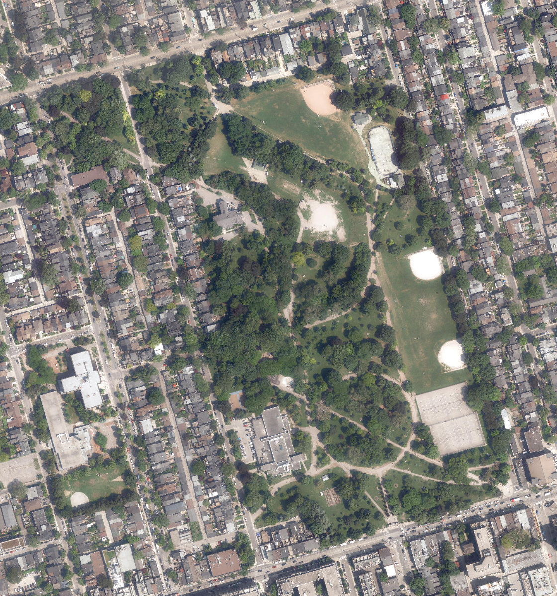
Explain this score
Where did the 63 come from? Each weighted contribution against a neutral 50 baseline. Green = pushed up; red = pulled down.
Sum of contributions = the headline score. A negative bar means that dimension dragged the park below the city-wide neutral baseline.
Why this park works
Trinity Bellwoods Park works because its connectivity score (87) is one of the city's strongest and its amenity diversity (48) is also top decile (29 transit stops sit within a 400 m walk; 81 intersections fall within 100 m of the edge).
What limits this park
Trinity Bellwoods Park's edges are fronted by border-vacuum land uses (highways, rail, parking, blank institutional), risk score 36.
Most distinctive characteristic
Most distinctive feature: exceptionally high connectivity (87, top decile).
Jacobs reading
Trinity Bellwoods Park is a balanced hybrid: strong urban integration (71) and meaningful natural comfort (68). Rare in the Toronto Park Catalogue.
Performance in context
- This park is a strong overperformer for its cohort: raw 63 versus an expected 35 for similar parks (large Neighbourhood Park) (gap +29).
Typology classification
Classified as Neighbourhood Park: 14.6 ha, framed by 75 mid-rise vs 0 towers. Secondary read: Destination Park (15 ha, 7 amenity types, connectivity 87 / comfort 70).
Edge Activation
Within 100 m of the park edge: 74 active uses (retail, restaurant, cafe, transit_stop) and 6 dead/hostile uses (parking_lot). Active edges keep "eyes on the park" through the day; parking lots, blank institutional walls, rail and highway frontages drain street life.
Source: OSM POIs (amenity/shop) + Toronto Building Footprints + land use
Connectivity
Connectivity blends paths, intersections, transit, entrances, and edge density. This park has 50 mapped paths/walkways and 122 sidewalk segments within 50 m; 81 street intersections within 100 m; 29 transit stops within a 400 m walk; 32 estimated access points across ~2,219 m of perimeter. edge density is healthy, no superblock penalty. Source coverage: centreline, pedestrian_network, transit_osm.
Source: Toronto Centreline V2 + Pedestrian Network + OSM transit stops
Amenity Diversity
7 distinct amenity types in the park (community_centre, dog_area, picnic, playground, sports_field, tennis, …). Diversity, not raw count, drives the score so a park with many distinct activity types can outrank a larger park that repeats the same use.
Source: Toronto Parks & Recreation Facilities + OSM amenity tags
Natural Comfort
Natural-comfort components for this park: ~45.7% effective canopy (1.0% from contiguous tree polygons + scattered tree density); 19.3% inside the ravine system; 954 city-mapped trees inside the polygon (65.3/ha). Reading: partially shaded. Source coverage: treed_area, ravine, street_trees. Impervious surface is approximated (Toronto's authoritative layer ships only as a raster GeoTIFF).
Source: Toronto Treed Area + Ravine + Waterbodies + Street Tree Inventory
Enclosure / Eyes on Park
339 buildings within 25 m of the park edge (75 mid-rise, 264 low-rise, 0 tower); avg edge height 8.1 m (~3 floors); 15.3 buildings per 100 m of 2,219 m perimeter (strong frontage density); edges are low-rise (mostly 2 to 3 floors); no towers immediately adjacent. "Eyes on the park" come strongest from the 75 mid-rise edge buildings.
Source: Toronto 3D Massing (building footprints + heights)
Border Vacuum Risk
Border-vacuum factors within 50 m of the park: parking_lot, parking_lot, parking_lot. Jacobs warned that highways, rail, parking lots and blank institutional edges act as "vacuums" that suppress foot traffic and isolate the park from its neighbourhood.
Source: Toronto Street Centreline (highways) + rail layer + OSM landuse + building footprints
Equity Context
Equity Context requires inputs not yet loaded for this park (Toronto Neighbourhood Profiles). Score is held at a neutral 50 with low confidence. Read with caution.
Source: Toronto Neighbourhood Profiles
Amenities (7 types · 7 records)
- community centre
- dog area
- picnic
- playground
- sports field
- tennis
- washroom
Nearby active-edge features (80)
- parking lot0 m
- retail: Suzi Roher4 m
- transit stop: Strachan Avenue8 m
- restaurant: Oyster Boy8 m
- retail: Ratelier9 m
- transit stop: Strachan Avenue11 m
- transit stop: Shaw Street12 m
- restaurant: Mother13 m
- retail: Nadège Patisserie16 m
- retail: Le Labo17 m
- retail: Fortnight21 m
- retail: Layover21 m
- cafe: The Library Coffee22 m
- retail: The Siista'r22 m
- retail: Art. 2722 m
- restaurant: Hooky's Fish n Chips22 m
- retail: The Paper Place22 m
- retail: Armed22 m
- retail: Super 4 Variety & Grocery23 m
- retail: Deciem23 m
- retail: Locks & Mane23 m
- retail: Type Books23 m
- retail: Park & Province23 m
- cafe: Sonndr24 m
- retail: The Spice Trader24 m
- restaurant: Agora24 m
- restaurant: Matty’s Patty’s24 m
- cafe: Bellwoods Coffee + Gelato24 m
- cafe: White Squirrel Coffee Shop24 m
- cafe: Morning Parade Coffee Bar25 m
- retail: Salon Goulart26 m
- retail: Cooney for Hair26 m
- retail: Aesop26 m
- retail: Stuart Jackson Gallery31 m
- restaurant: Noce Restaurant & Bar33 m
- transit stop: Shaw Street35 m
- retail: Trinity Flower Cannabis35 m
- retail: Consign Toronto35 m
- restaurant: Le Swan35 m
- retail: Gaspard36 m
- retail: Tusk36 m
- retail: Value Buds Bellwoods37 m
- parking lot38 m
- parking lot39 m
- retail: Atomic40 m
- retail: Fawn48 m
- parking lot58 m
- retail: The Dog Bowl60 m
- retail: Ella + Elliot62 m
- transit stop: Grace Street65 m
- retail67 m
- retail: 7-Eleven68 m
- restaurant: Smoque N' Bones70 m
- retail: A1 Auto Service72 m
- retail: Timmie Doggie Outfitters74 m
- cafe: Mercat del Carmen76 m
- transit stop: Grace Street78 m
- retail: Queen Suds Laundry79 m
- cafe: The Roasted Nut79 m
- retail: Golden Hanger Cleaners79 m
- retail: Helmutt's Pet Supply79 m
- retail79 m
- restaurant: Carmen80 m
- retail: Zumel & Co.82 m
- restaurant: Hoof Cocktail Bar82 m
- restaurant: Jules Bistro86 m
- retail: Hanky Panky86 m
- restaurant: Done Right Inn87 m
- retail: FloorPlay Socks90 m
- restaurant: H Bar91 m
- retail: Philistine91 m
- cafe: Found Coffee Bellwoods93 m
- parking lot93 m
- restaurant: Sukoi Desserts93 m
- cafe: Loftea95 m
- parking lot95 m
- restaurant: AMA96 m
- retail: Studio Kim96 m
- restaurant: Lambos Deli97 m
- retail: Cutler and Gross98 m
Park profile
Five-axis radar across the structural dimensions.
Citywide percentile ranks
Across all Toronto parks in the dataset.
- Overall vitality100th
- Edge activation94th
- Connectivity100th
- Amenity diversity100th
- Natural comfort84th
- Enclosure87th
Most similar parks
Closest in metric space across the five structural dimensions.
- Riverdale Park EastRavine / Naturalized Park63
- Hillcrest ParkNeighbourhood Park66
- Dufferin Grove ParkAthletic / Recreation Park63
- Vermont Square ParkCivic Square61
- Norwood ParkNeighbourhood Park59
Most opposite parks
Furthest in metric space. Useful for recognising what kind of park this isn’t.
- Rouge ParkRavine / Naturalized Park18
- Trca Lands ( 58)Waterfront Park18
- Rouge ParkRavine / Naturalized Park21
- Toronto Islands - Muggs Island ParkRavine / Naturalized Park25
- Rouge ParkRavine / Naturalized Park19
Visitor signals
Public attention measured by Google Places aggregates. This proxies attention, not occupancy. Aggregate-only: no usernames, no review text, no extra photos beyond the cached hero.
“Spacious park with volleyball & tennis courts, an outdoor skating rink & indoor recreation centre.” (Google editorial summary)
p99 citywide · p98 within Neighbourhood Park
Source: Google Places API · match unverified (0.00 composite confidence) · last refreshed 5/9/2026. Privacy contract. Measures public attention, not occupancy.
Human activity signals
Programming, social attention, temporal rhythm, and nearby pedestrian / cycling flow. An experimental aggregate layer that complements the spatial scores. Partial coverage, partial confidence.
Activity reading: 38 events/yr (14 recurring); 4,200 public mentions; pedestrian intensity 78/100; cycling/trail 70/100. The strongest signal is observed pedestrian/cycling activity. These are illustrative sample values. Calibrate before citing.
Sample data: numbers shown here are an illustrative fixture for the 10 named parks, not a measurement.
Does this score feel accurate?
Your read of Trinity Bellwoods Parkmatters. We’re testing whether the model lines up with how people actually use the park. Submissions are stored locally; no account needed.
Tell us how this park feels
We measure structure (canopy, edges, connectivity). You measure feeling. Both matter, and disagreement is itself useful civic data.
What would improve this park?
Generated from the weakest measured dimensions: a starting point, not a prescription.
- Activate the edges: encourage cafés, retail or community uses on the streets that face the park; replace blank or parking-lot edges where possible.
- Diversify what people can do in the park (playground, washroom, water, shade, performance, sport, garden): even small additions raise this score.
- Mitigate border vacuums (highways, rail, parking) with active programming on the still-permeable edges and treat the hostile edge as a design challenge.
Data sources
- City of Toronto Open Data: Parks (Green Space)Polygon boundaries, official names, types.
- Parks & Recreation FacilitiesInventory of in-park amenities (washrooms, fields, rinks…).
- Toronto Pedestrian NetworkSidewalk segments around and through parks; estimated park entrances.
- Toronto Centreline V2Street segments + intersection nodes near park edges; trails and walkways.
- Toronto 3D MassingBuilding footprints + heights for edge-building counts, frontage density, and tower-in-the-park risk.
- Toronto Treed AreaTree canopy share inside park polygons via stratified-grid sampling.
- Toronto Waterbodies & RiversWater surface inside parks + nearest-water distance for cooling.
- Ravine & Natural Feature ProtectionRavine overlap as a cooling / natural-comfort signal.
- Toronto Street Tree InventoryTree count + density inside park polygons.
- Neighbourhood Profiles(Pending) Equity context proxy.
- OpenStreetMap (Overpass API)Cafés, restaurants, retail, transit stops, parking, highways, rail.