Grace - College Parkette
Corridor / Linear Park, one of the city's strongest overall (score 59, rank ~99th percentile). Strongest: edge activation; weakest: natural comfort.
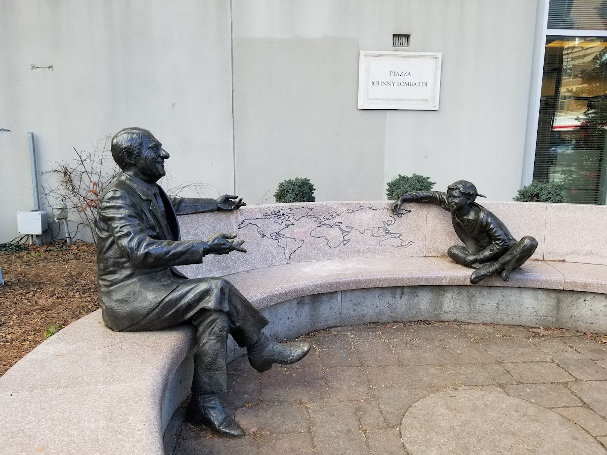
Photo by Chuan Chee via Google Places · cached 5/9/2026
Grace - College Parkette scores 58.5 / 100. Strongest dimensions: enclosure / eyes on park and edge activation. Weakest: amenity diversity (0). Border-vacuum risk is low. This score is a transparent reading of Jane Jacobs-style vitality factors, not a definitive judgment.
Area · 0.04 ha
Weighted across six dimensions · confidence 56%
Scores are not bell-curved. Percentiles and expected scores provide context without changing the underlying model.
Loading map…
The parks map is loading.
Explain this score
Where did the 59 come from? Each weighted contribution against a neutral 50 baseline. Green = pushed up; red = pulled down.
Sum of contributions = the headline score. A negative bar means that dimension dragged the park below the city-wide neutral baseline.
Why this park works
Grace - College Parkette works because its edge activation score (80) is one of the city's strongest and its enclosure (91) is also top decile (its perimeter is lined with active uses).
What limits this park
Grace - College Parkette is held back by natural comfort (38, below-average): only 0% canopy means little summer shade.
Most distinctive characteristic
Most distinctive feature: exceptionally high edge activation (80, top decile).
Jacobs reading
Grace - College Parkette sits between an urban social park and an ecological retreat: moderately useful for both, exceptionally suited to neither.
Tradeoffs
- Connectivity (68) significantly outpaces natural comfort (38): well placed in the city but offers little shade or ecological respite.
Performance in context
- This park is a strong overperformer for its cohort: raw 59 versus an expected 32 for similar parks (pocket Corridor / Linear Park) (gap +27).
Typology classification
Classified as Corridor / Linear Park: shape elongation 2.0× a circle of equal area. Secondary read: Urban Plaza (382 m², paved (0% canopy), 75.6 buildings/100 m).
Edge Activation
Within 100 m of the park edge: 44 active uses (retail, restaurant, cafe, transit_stop) and 1 dead/hostile uses (parking_lot). Active edges keep "eyes on the park" through the day; parking lots, blank institutional walls, rail and highway frontages drain street life.
Source: OSM POIs (amenity/shop) + Toronto Building Footprints + land use
Connectivity
Connectivity blends paths, intersections, transit, entrances, and edge density. This park has 0 mapped paths/walkways and 24 sidewalk segments within 50 m; 19 street intersections within 100 m; 6 transit stops within a 400 m walk; 2 estimated access points across ~140 m of perimeter. edge density is healthy, no superblock penalty. Source coverage: centreline, pedestrian_network, transit_osm.
Source: Toronto Centreline V2 + Pedestrian Network + OSM transit stops
Amenity Diversity
No amenities recorded. Score is 0 until inventory is loaded.
Source: Toronto Parks & Recreation Facilities + OSM amenity tags
Natural Comfort
Natural-comfort components for this park: ~6.3% effective canopy (0.0% from contiguous tree polygons + scattered tree density); 9 city-mapped trees inside the polygon (9.0/ha). Reading: exposed. Source coverage: street_trees. Impervious surface is approximated (Toronto's authoritative layer ships only as a raster GeoTIFF).
Source: Toronto Treed Area + Ravine + Waterbodies + Street Tree Inventory
Enclosure / Eyes on Park
106 buildings within 25 m of the park edge (20 mid-rise, 86 low-rise, 0 tower); avg edge height 8.4 m (~3 floors); 75.6 buildings per 100 m of 140 m perimeter (strong frontage density); edges are low-rise (mostly 2 to 3 floors); no towers immediately adjacent. "Eyes on the park" come strongest from the 20 mid-rise edge buildings.
Source: Toronto 3D Massing (building footprints + heights)
Border Vacuum Risk
Park edges face the city. No significant border vacuum detected.
Source: Toronto Street Centreline (highways) + rail layer + OSM landuse + building footprints
Equity Context
Equity Context requires inputs not yet loaded for this park (Toronto Neighbourhood Profiles). Score is held at a neutral 50 with low confidence. Read with caution.
Source: Toronto Neighbourhood Profiles
Amenities (0)
No amenities recorded for this park.
Nearby active-edge features (80)
- transit stop: Grace Street12 m
- transit stop: Grace Street19 m
- retail: Festival Gift & Variety21 m
- retail24 m
- restaurant: Tebasaki25 m
- restaurant: IMM27 m
- restaurant: La Chuperia28 m
- retail: Bertucci's31 m
- restaurant: Papa John's33 m
- retail33 m
- retail: Grace Meat Market35 m
- retail: Red Pegasus35 m
- retail: Botany Floral Studio39 m
- retail39 m
- retail: Pompette40 m
- restaurant: Samrat44 m
- restaurant: The Fish Store & Yunes Sandwiches47 m
- retail: Sillage Skin Care47 m
- restaurant: Kasai Grill House50 m
- restaurant: Rudy51 m
- parking lot51 m
- restaurant: Ghazale On College54 m
- retail: CHIN Radio55 m
- retail: Golden Wheat56 m
- cafe: Agenda Cafe59 m
- retail: Recalled62 m
- retail: Movin63 m
- retail: Michelle65 m
- restaurant: Vivoli65 m
- restaurant: bar serene68 m
- restaurant: Wolfie70 m
- retail: Pasqualino Menswear72 m
- restaurant: Dannys72 m
- restaurant: Birreria Volo74 m
- restaurant: Bella Vista77 m
- restaurant: PG Cluck's79 m
- retail: Spades80 m
- retail: Arts Market83 m
- restaurant: Bar Pompette86 m
- cafe: Coco's88 m
- retail: Aroma Spa and Nail Salon92 m
- retail: Azale Convenience94 m
- retail96 m
- retail: M&F Linen Bazaar Ltd.98 m
- retail: Sellers & Newel100 m
- restaurant: Hapa Izakaya102 m
- restaurant: La Patrona103 m
- retail: People's Dry Cleaners105 m
- retail: Riverside Flower Shop108 m
- parking lot108 m
- retail: Alibi109 m
- restaurant: La Cantina110 m
- restaurant: Cheongju113 m
- restaurant: Brick'n'Cheese Toronto113 m
- cafe: Formocha116 m
- restaurant: Pompette117 m
- restaurant: Tondou Ramen119 m
- retail121 m
- retail: Pet Uno123 m
- retail: Teti Hair Salon124 m
- retail: Wonder Pens126 m
- parking lot135 m
- restaurant: Bellona141 m
- restaurant: Sotto Voce Wine & Pasta Bar142 m
- restaurant: Café Diplomatico146 m
- retail: College Fruit Market148 m
- restaurant: UK India Bistro149 m
- restaurant: Monarch Tavern151 m
- restaurant: College St. Bagel154 m
- restaurant: Grancardo155 m
- retail: Da Greenhouse155 m
- retail: Splish Splash156 m
- retail: Splish Splash156 m
- restaurant: Trattoria Taverniti157 m
- retail: Beauty Bar157 m
- restaurant: Pizzeria Libretto159 m
- restaurant: B-Side Lounge160 m
- retail: Fresh Fruit Market161 m
- retail161 m
- retail: La Bartola161 m
Park profile
Five-axis radar across the structural dimensions.
Citywide percentile ranks
Across all Toronto parks in the dataset.
- Overall vitality99th
- Edge activation100th
- Connectivity88th
- Amenity diversity46th
- Natural comfort33th
- Enclosure96th
Most similar parks
Closest in metric space across the five structural dimensions.
- Paul Garfinkel ParketteUrban Plaza54
- Maple Leaf Forever ParkUrban Plaza61
- Sonya'S ParkUrban Plaza60
- Graham ParkUrban Plaza59
- Ryerson Community ParkUrban Plaza60
Most opposite parks
Furthest in metric space. Useful for recognising what kind of park this isn’t.
- Toronto Islands - Muggs Island ParkRavine / Naturalized Park25
- Trca Lands ( 26)Ravine / Naturalized Park27
- Rouge ParkRavine / Naturalized Park28
- Rouge ParkWaterfront Park25
- Rouge ParkRavine / Naturalized Park26
Visitor signals
Public attention measured by Google Places aggregates. This proxies attention, not occupancy. Aggregate-only: no usernames, no review text, no extra photos beyond the cached hero.
p77 citywide · p84 within Corridor / Linear Park
Source: Google Places API · match unverified (0.00 composite confidence) · last refreshed 5/9/2026. Privacy contract. Measures public attention, not occupancy.
Human activity signals: not available
No activity signals have landed for this park yet. The model has scored its physical form but it can’t yet say how often it’s programmed, photographed, or walked through. See /data-ethics for what we will and will not collect.
Does this score feel accurate?
Your read of Grace - College Parkettematters. We’re testing whether the model lines up with how people actually use the park. Submissions are stored locally; no account needed.
Tell us how this park feels
We measure structure (canopy, edges, connectivity). You measure feeling. Both matter, and disagreement is itself useful civic data.
What would improve this park?
Generated from the weakest measured dimensions: a starting point, not a prescription.
- Diversify what people can do in the park (playground, washroom, water, shade, performance, sport, garden): even small additions raise this score.
- Increase canopy and reduce paved area. Shade and water features extend usable hours and seasons.
Data sources
- City of Toronto Open Data: Parks (Green Space)Polygon boundaries, official names, types.
- Parks & Recreation FacilitiesInventory of in-park amenities (washrooms, fields, rinks…).
- Toronto Pedestrian NetworkSidewalk segments around and through parks; estimated park entrances.
- Toronto Centreline V2Street segments + intersection nodes near park edges; trails and walkways.
- Toronto 3D MassingBuilding footprints + heights for edge-building counts, frontage density, and tower-in-the-park risk.
- Toronto Treed AreaTree canopy share inside park polygons via stratified-grid sampling.
- Toronto Waterbodies & RiversWater surface inside parks + nearest-water distance for cooling.
- Ravine & Natural Feature ProtectionRavine overlap as a cooling / natural-comfort signal.
- Toronto Street Tree InventoryTree count + density inside park polygons.
- Neighbourhood Profiles(Pending) Equity context proxy.
- OpenStreetMap (Overpass API)Cafés, restaurants, retail, transit stops, parking, highways, rail.